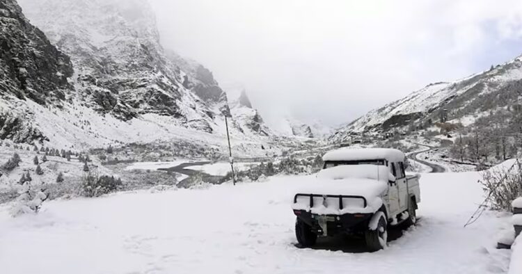
The India Meteorological Department (IMD) has forecasted the arrival of a fresh western disturbance (WD) in the Western Himalayas, set to impact the region on February 26 and 27. This weather system is likely to bring rain and snowfall to the area, with accompanying thunderstorms and lightning expected in Central Bharat during the same period.
A previous WD brought precipitation to the hills and plains between February 19 and 21. Following its passage, wind direction shifted to northwesterly, originating from the snow-covered Himalayas, leading to a decrease in temperatures across the plains.
IMD scientist Naresh Kumar explained, “When the previous WD was approaching, temperatures rose due to variable winds. Now, with northwesterly winds prevailing over the plains, temperatures have returned to near-normal levels. The upcoming WD is expected to bring rain and snow to higher altitudes and very light rainfall to the plains, particularly in Punjab.”
IMD Director General M Mohapatra highlighted that temperatures would likely rise again with the arrival of the fresh WD. However, a slight dip can be expected once it moves away from the region.
Isolated light rainfall or snowfall is also anticipated in the Western Himalayan region over the upcoming weekend, according to IMD forecasts.
Jet stream winds, reaching speeds of up to 145 knots over northeast India at an altitude of 12.6 km above sea level, coupled with significant moisture incursion from the Bay of Bengal into the region at lower levels, are expected to result in scattered to fairly widespread light to moderate rainfall/snowfall with thunderstorms and lightning over the weekend.


Comments