Ranchordas Pagi: The Desert Tracker Who Located 1,200 Pakistani Soldiers Through Footprints & Enabled India’s Victory at Rann of Kutch
During the 1965 India-Pakistan War at the Rann of Kutch, it was this unassuming desert tracker, merely a humble cattle and camel herder from Gujarat's Banaskantha district, who became one of its greatest assets.

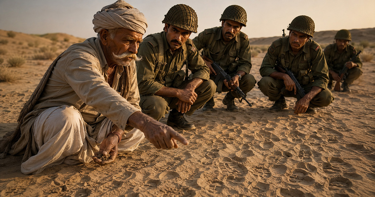
Ranchodbhai Savabhai Rabari | This image is AI-generated
How do you fight a war in a desert where there are no roads, no landmarks, no maps to rely on, and every direction looks exactly the same? Today, armies answer that question with satellites, drones, thermal imaging, and GPS. But in 1965, India had something even more extraordinary. A man who could read the desert. This man was Ranchodbhai Savabhai Rabari, also lovingly known as Ranchordas Pagi. When the Indian Army found itself facing one of its greatest challenges during the 1965 India-Pakistan War at the Rann of Kutch, it was this unassuming desert tracker—merely a humble cattle and camel herder from Gujarat's Banaskantha district—who became one of its greatest assets.
By the early 1960s, tensions had escalated in the Rann of Kutch. Before a full-scale war, on April 9, 1965, Pakistan launched “Operation Desert Hawk”, capturing the strategically important Vighakot post after fierce fighting in which around 100 Indian soldiers were martyred. To reclaim it, India mobilised nearly 10,000 troops toward Chharkot, where numerous Pakistani soldiers were hiding.
The primary challenge was reaching the location by crossing the vast salt marshes and shifting sands of the Rann—with no roads, GPS, or satellite support. The troops also had to reach the area before Pakistani reinforcements arrived. Here, Ranchodbhai Pagi came to the rescue. Born into the Rabari community, a nomadic pastoral group that traditionally moved with their cattle and camels across the arid landscapes of Kutch, Pagi was thus well aware of Kutch’s every nook and corner. He knew which salt flats could support men and vehicles, which paths became marshy during the monsoon, where hidden water sources lay, and which lesser-known routes could safely bypass difficult terrain. Meanwhile, he also worked as a guide for the Gujarat Police, which had recruited him owing to his knowledge of border terrain. It was Pagi's remarkable knowledge of the Rann of Kutch that helped him confidently lead the massive Indian force through safer, lesser-known routes across the Rann. According to accounts preserved by his family and military narratives, this allowed the Army to save nearly 12 precious hours, enabling Indian forces to reach the operational area before Pakistani reinforcements could consolidate their positions.
“Pagi”, a common cattle herder who turned into a human GPS for the Indian Army | Image Source: Dainik Bhaskar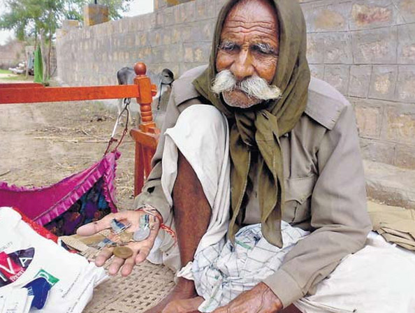
As Indian troops prepared for their operation, Ranchodbhai also revealed that approximately 1,200 Pakistani soldiers were concealed nearby using his extraordinary mastery of Khoji—the traditional art of reading footprints. Pagi could distinguish the impressions of Pakistani military boots from those of local villagers or Indian troops by studying the tread patterns, alignment, and depth of the footprints. By examining the density and overlap of the tracks, he estimated the size of the force, while the depth of the impressions revealed how heavily the soldiers were laden with weapons and ammunition. By following this intricate trail of footprints, Pagi identified the approximate location of the hidden force, providing Indian commanders with crucial intelligence that helped shape their counter-offensive. Indian commanders then adjusted their plans accordingly. With the surprise achieved through Pagi's guidance and intelligence, the Indian Army was able to precisely target and neutralize the entrenched enemy without walking into a trap. This decisive counter-offensive effectively halted Pakistan's momentum in the Rann of Kutch.
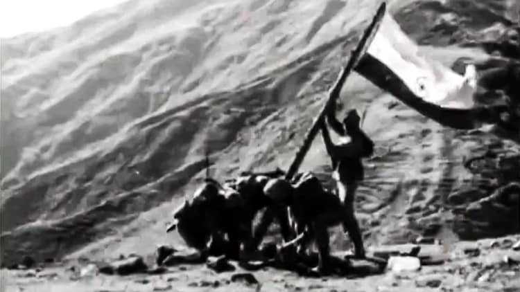
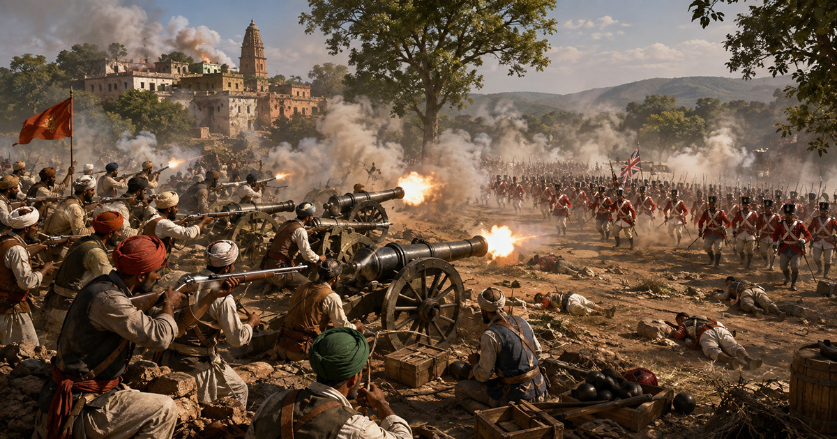
Indian armed forces during the 1965 India-Pakistan war | Image Source: Sputnik India
Modern armies depend upon satellites capable of photographing enemy positions from space. They use drones, infrared sensors, and artificial intelligence to monitor troop movements. In 1965, India relied on a man who could read the earth beneath his feet. Ranchodbhai Savabhai Rabari proved that extraordinary military intelligence does not always come from advanced technology. Sometimes, it comes from generations of lived experience, an intimate understanding of nature, and the quiet brilliance of a man who could read the desert better than anyone else.